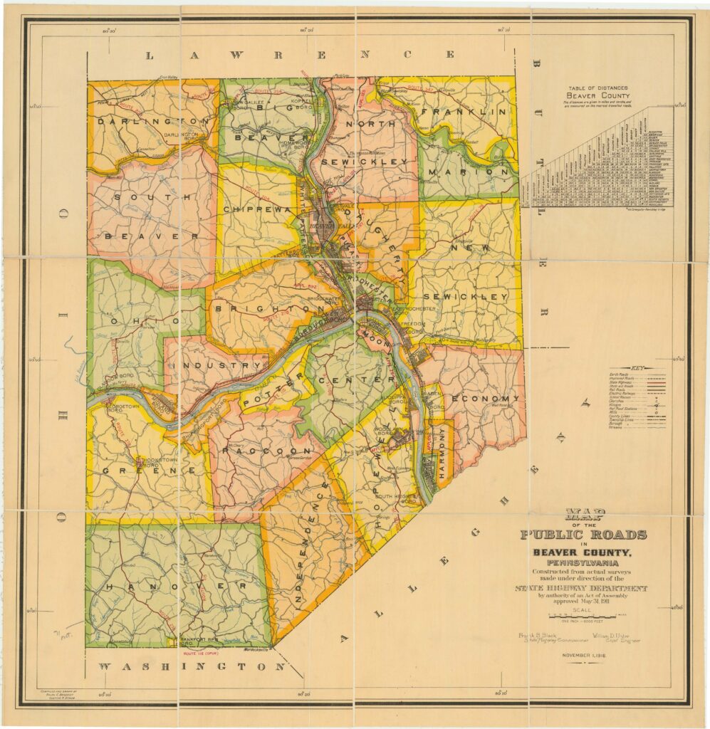
Sanborn Maps are richly detailed, large-scale lithographed street plans drawn at a scale of 50 feet to 1 inch. During the time that they were produced, they were used by insurance companies to do fire insurance assessments. The maps were so full of valuable information that they are still used today, and are a vital resource for historical information.
The volumes that were produced to accompany the maps contained an index of streets and addresses, the names of churches, schools, and businesses, population, the local economy, and even the prevailing wind direction. The maps include outlines of each building and outbuilding, the location of windows and doors, street names, street and sidewalk widths, property boundaries, notable features, railroad corridors, building use, the strength of the local fire department, and the locations of fire hydrants.
**Thanks to John Buerkle for obtaining the above copies of the Conway Maps.


